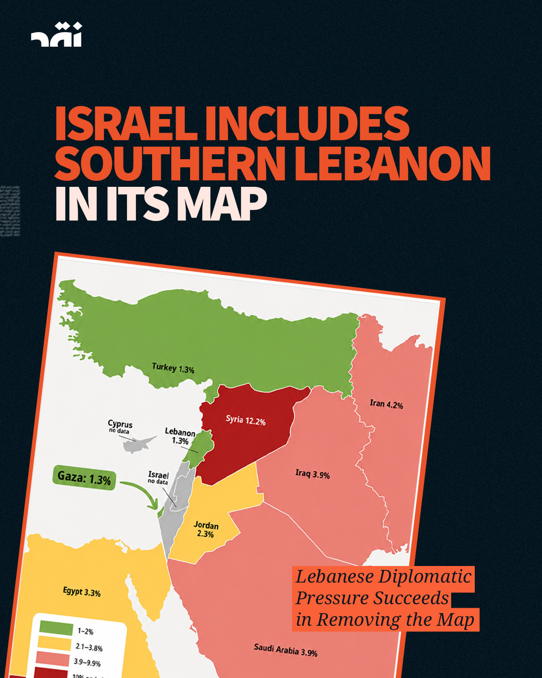

Israel’s Ministry of Foreign Affairs removed from its official English-language account a map depicting parts of southern Lebanon as Israeli territory, following Lebanese diplomatic efforts and pressure that reached Washington. The map was originally published as part of an infographic on acute child malnutrition in the region, but drew the border in a way that placed Lebanese territory inside Israel, contrary to internationally recognized boundaries.
The removal of the map offers a small but significant example of what political and diplomatic pressure can achieve when the Lebanese state mobilizes its relationships and available tools. According to the latest information, however, the map remained published on the ministry’s Arabic-language account, “Israel in Arabic.”
Hezbollah quickly cited the map as evidence of Israeli territorial ambitions and called for an end to negotiations, while overlooking the fact that the “support front” wars it launched contributed to opening the door to war, destruction, and a large-scale Israeli ground incursion into southern Lebanon.
The map is unacceptable, as are Israel’s occupation, continued violations, and attempts to impose new realities on Lebanese territory. Confronting them requires restoring the state’s authority over decisions of war and peace, placing all weapons under state control, and using the army, diplomacy, and international pressure to recover Lebanese land rather than pursuing wars for which Lebanon and its people ultimately pay the price.