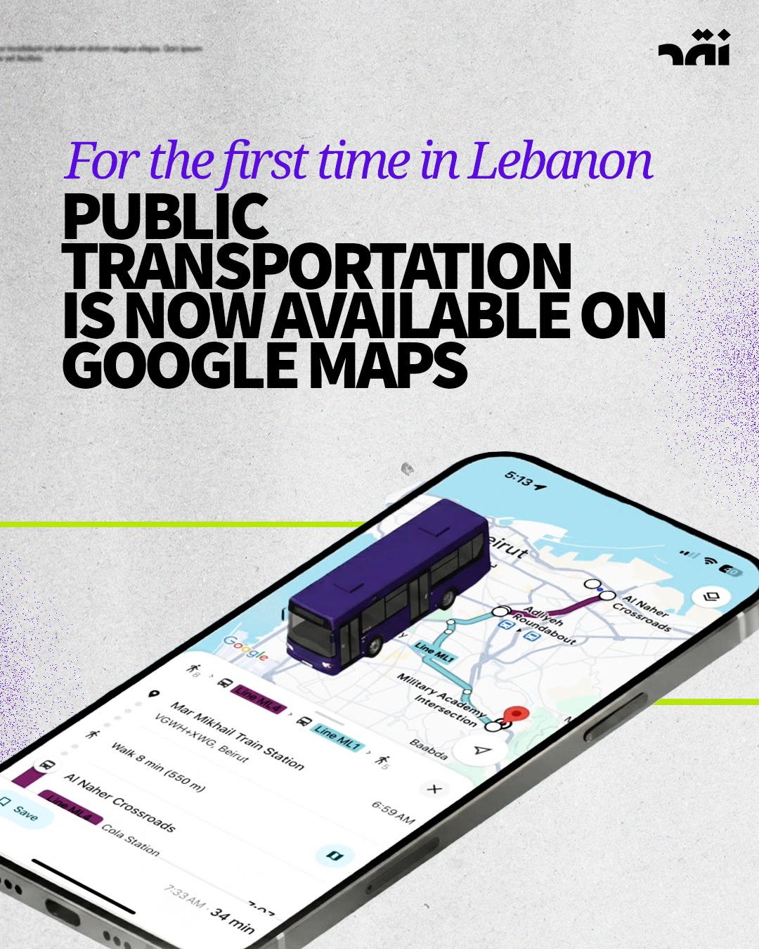
For the first time in Lebanon: Public Transportation is now on Google Maps
Like this post

13 Jan 2026
For the first time, Google’s public transport feature is now available in Lebanon, offering users a practical tool to navigate the country’s long-neglected public transportation system and enabling smoother, more predictable mobility.
The service introduces several key functionalities that significantly improve how public transport can be used. Most notably, it displays all available public transport lines, maps out bus routes and stops in sequence, and provides estimated arrival and departure times for shared transportation. Users can now follow clear, step-by-step directions throughout their journey — from walking to the nearest stop, to waiting for a vehicle, transferring between different lines, and, where available, accessing real-time updates on waiting and travel times.
For a country where public transportation has long operated informally and without centralized information, these features represent a meaningful shift. Until now, navigating shared transport in Lebanon has relied largely on local knowledge, guesswork, and word of mouth — making it inaccessible to many and inefficient for most.
While the rollout of Google’s public transport service does not resolve Lebanon’s structural transport challenges, it marks a notable first step toward greater organization and transparency in the sector. What was once considered unrealistic — or nearly impossible — has now become tangible, offering an early sign of progress in a system that has seen little reform for decades.
Whether this digital development will be matched by policy, investment, and infrastructure remains an open question. But for now, it introduces a new layer of accessibility to public transport — and with it, a small but significant change in how movement across Lebanon can be planned and understood.